
Geographic Information Science
What’s it all about? GIS, Geographic Information Systems, is just about the coolest software application out there! Do you want to use mapping and data collection skills to problem solve? Then GIS is for you!
GIS makes it easy to collect data and display it visually on maps. Using GIS makes it possible to consider geographic locations and features in their relation to other locations and features around them.
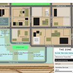
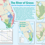
There are many different ways make maps using GIS. Below is an example of Story Mapping, an application provided by ESRI Online.
View the full Story Map here!
Why study GIS at SU?
 The Syracuse University Geography Department truly cares about their students. Therefore, internships are offered directly to Geo students every semester through Syracuse Community Geography. Students have the chance to work with Associate Professor Dr. Jonnell Robinson and community based organizations, while gaining practical experience with geographic research methods, GIS, and spatial analysis. Students work on projects related to urban planning and policy, food justice, public health, and human-environment interactions. To find out more about the projects that Syracuse Community Geography works on, check out communitygeography.org!
Syracuse University’s Geography program boasts up to date computer labs, with the latest GIS software. And to teach us how to use that software, we have and nationally recognized professors who specialize in GIS.
Upon graduation from the Syracuse University’s Geography program, you will be enthralled with all the map-tastic possibilities of GIS, and the plethora of jobs waiting for you and your freshly refined GIS skills.
We love maps!
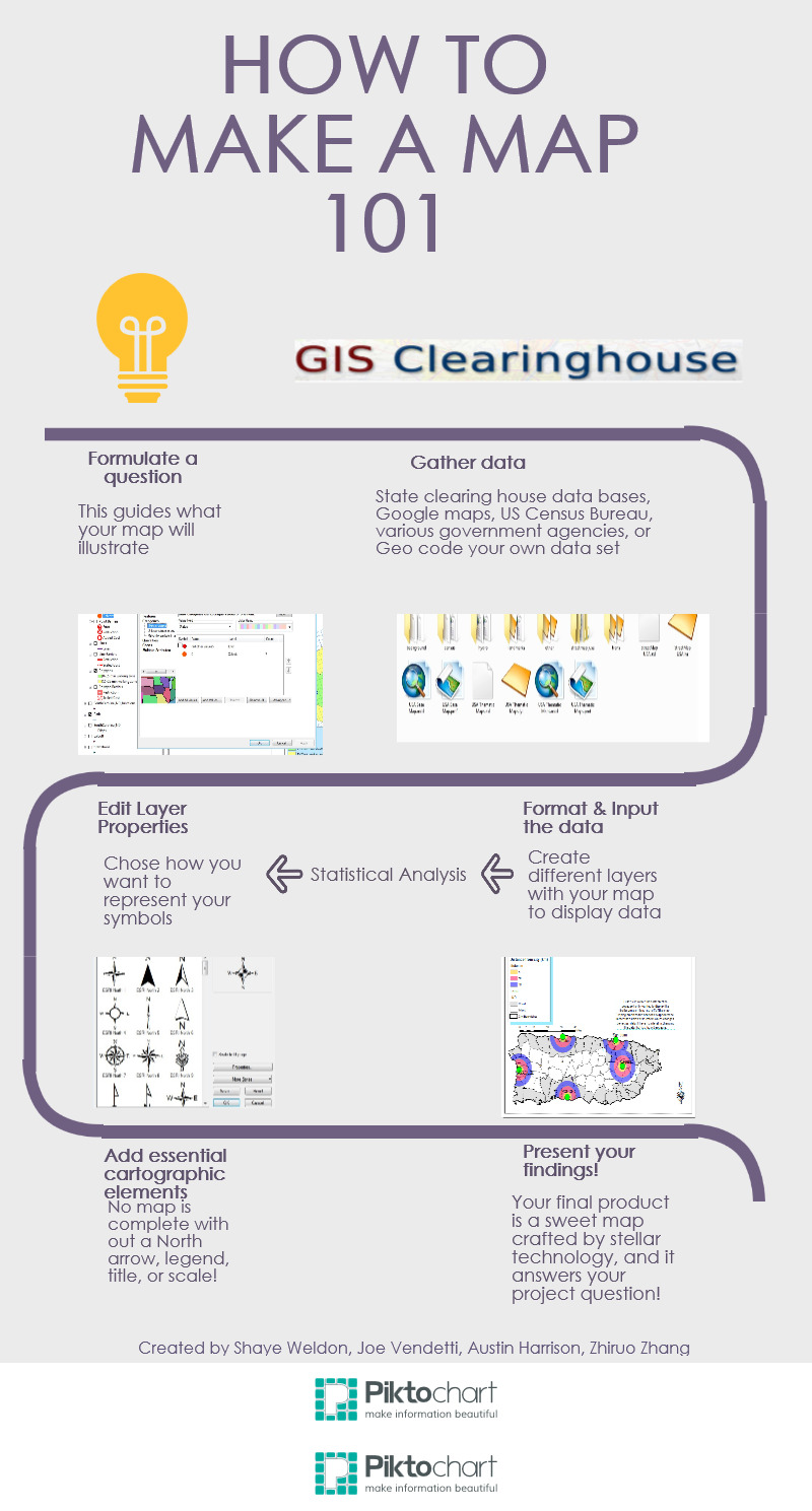
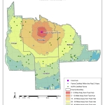
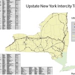
Click a map to flip through the gallery of maps created by SU Geography students!
-
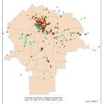
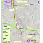
- A map created by Rose Tardiff for GEO 400, Community GIS
-
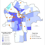
- A map created by Austin Harrison for GEO 381, Cartographic Design
-
- A map created by Shaye Weldon during GIS 383
-
- A map created by Ly Ho during GEO 400, Community GIS
-
- A map created by John Marino for GEO 383, Geographic Information Systems
-
- A map made by Shaye Weldon with Syracuse Community Geography
-
- A map created by Brian Hennigan for GEO 681, Map Design
-
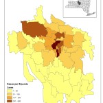
- A map created by Zhirou Zhang for GEO 383, Geographic Information Systems.
-
- A map created by Kelly Montague’s final project for GEO 381, Cartographic Design.
What can you do with GIS?
GIS is where the jobs are!
Proficiency in GIS is the most tangible skill that SU Geography students graduate with! A myriad of companies and organizations are hiring graduates right out of school, since the need for GIS proficient employees is rapidly growing. Companies such as National Grid, National Geographic Society, local municipalities, city planning, and the United States Military all employ GIS specialists to complete a variety of jobs and projects, such as census evaluation, business planning and social justice work!
List of Relevant Courses
Visit the SU Course Catalog for more info.
- GEO 381 – Cartographic Design
- GEO 383 – Geographic Information Systems
- GEO 386 – Quantitative Geographic Analysis
- GEO 400 – Geospatial Technology and Privacy
- GEO 482 – Environmental Remote Sensing
- GEO 500 – GIS and Hydrological Modeling
- GEO 583 – Environmental GIS
Potential Careers
- Urban Planner
- Development Specialist
- Humanitarian Affairs Specialist
- Surveyor
- Geo-intelligence Specialist
- Environmental Specialist
- Soil and Plant Specialist
- Water Resources Specialist
- Climatologist
- Climate Change Analyst
- Hazards Analyst
- Real Estate Appraiser
- Transportation Manager
- Community Resource Specialist
and many other exciting careers!